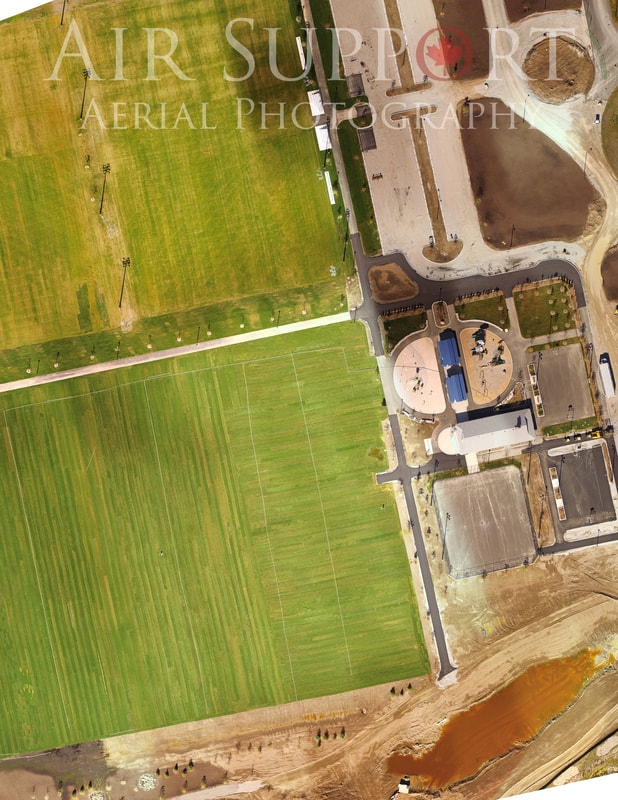
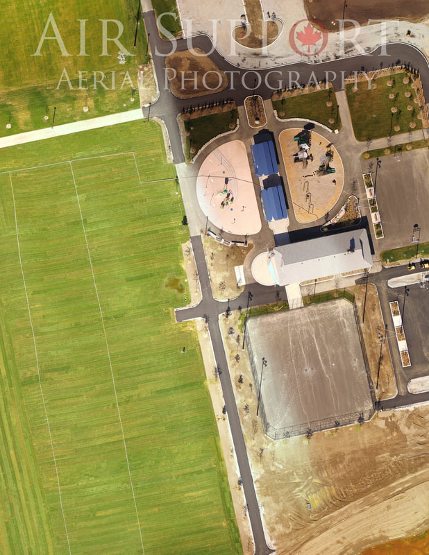
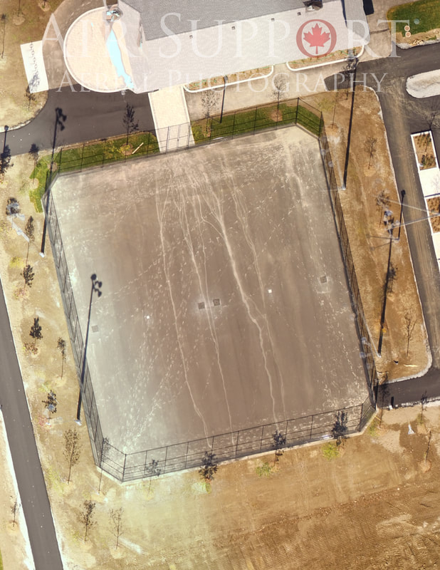
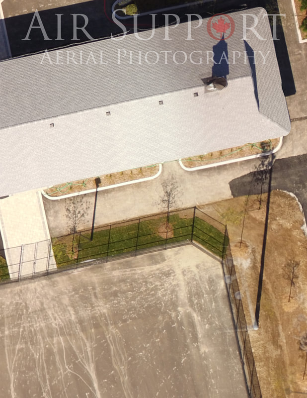
Get the Image without the Satellite...
A.S.A.P. is proud to offer 2D Orthomosaic Mapping! We can create a satellite-like ultra high-pixel photo that can be imported with geo-referenced data into applications such as Google Earth! You can also zoom in to crazy amount of detail, and export smaller images if need be.
|
|
|
|
Uses
- Construction
- Insurance
- Historical Documentation
- Marketing
- Mapping
- Environmental Studies
- Agriculture field health